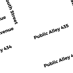
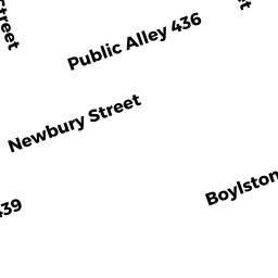
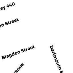
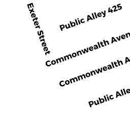
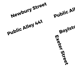
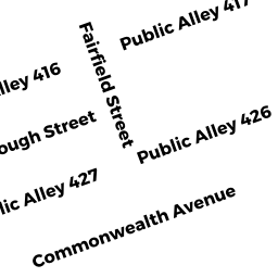
553555 Boylston ST
Owner Information
FIVE-53 BOYLSTON ST PTNRS
359 BOYLSTON ST
BOSTON, MA 02116


Property Details
553555 Boylston ST is classified as a IMPUTED - Commercial (Fast food restaurant).
The primary structure on this property was built in 1899. There are 9,688ft2 of built area within this property. There is 7,528ft2 of residential/living space within this property.
553555 Boylston ST is valued at $4,734,700. The land is valued at $2,543,400 and the structures are valued at $2,191,300.
The most recent deed for 553555 Boylston ST is recorded at the local registrar in Book 18627, Page 034. 553555 Boylston ST was last sold on Monday, November 8, 1993 for $9.
Assessment data from fiscal year 2020.
Flood Data
According to the FEMA National Flood Hazard Layer, this property does not appear to be in a flood zone. It may also be in an area not yet reviewed. Nonetheless, confirm this information prior to taking any action.
To view the flood hazards around this property, create a FEMA "Firmette" Map of the area around 553555 Boylston ST.
Broadband Internet Providers
| Provider | Type | Bandwidth (mbps) | |
|---|---|---|---|
| Towerstream | Fixed Wireless | 0 | 0 |
| Crown Castle Fiber | Fiber | 0 | 0 |
| MCI | Copper Wire | 0 | 0 |
| Viasat Inc | Satellite | 100 | 3 |
| Verizon New England Inc. | DSL | 15 | 1 |
| XO Communications | Copper Wire | 0 | 0 |
| Comcast | Cable | 1000 | 35 |
| RCN | Cable | 500 | 20 |
| RCN | Cable | 1000 | 20 |
| RCN | Fiber | 1000 | 20 |
| Starry, Inc. | Fixed Wireless | 200 | 200 |
| netBlazr Inc | Fixed Wireless | 50 | 50 |
| New Horizon Communications Group Inc | DSL | 3 | 0 |
| VSAT Systems, LLC. | Satellite | 2 | 1 |
| HughesNet | Satellite | 25 | 3 |
| GCI Communication Corp. | Satellite | 0 | 0 |
| CenturyLink | Fiber | 0 | 0 |
| Broadview Networks Holdings, Inc. | Copper Wire | 0 | 0 |
| PAETEC Communications, Inc | DSL | 0 | 0 |
Broadband service provider data from December 2020.
Adjacent Properties
- 549551 Boylston ST 501
IMPUTED - Commercial owned by RIZKALLAH LINA R TS - 549551 Boylston ST
Other, Open Space owned by FIVE 51 BOYLSTON STREET - 549551 Boylston ST 201
IMPUTED - Commercial owned by CHAMBERLAIN WALTER - 549551 Boylston ST 301
IMPUTED - Commercial owned by RIZKALLAH LINA TS - 549551 Boylston ST 401
IMPUTED - Commercial owned by RIZKALLAH LINA TS - 549551 Boylston ST 101
IMPUTED - Commercial owned by BYBLOS INVESTMENTS - 557559 Boylston ST
Eating and Drinking Establishments - restaurants, diners, fast food establishments, bars, nightclubs owned by FIVE 57-561 BOYLSTON ST LLC